 NERC Data Catalogue Service
Radon gas
Type of resources
Available actions
Topics
Keywords
Contact for the resource
Provided by
Years
Formats
Representation types
Update frequencies
Service types
Scale
-

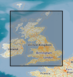
The joint PHE-BGS digital Indicative Atlas of Radon in Great Britain presents an overview of the results of detailed mapping of radon potential, defined as the estimated percentage of homes in an area above the radon Action Level. The Indicative Atlas of Radon in Great Britain presents a simplified version of the Radon Potential Dataset for Great Britain with each 1-km grid square being classed according to the highest radon potential found within it, so is indicative rather than definitive. The joint PHE-BGS digital Radon Potential Dataset for Great Britain provides the current definitive map of radon Affected Areas in Great Britain.
-
BGS have collected environmental radioactivity data for various purposes over several decades. This is being drawn together to produce a database of baseline gamma radioactivity and radon. Data includes the relevant portions of airborne and ground gamma spectrometer surveys, mineral exploration, baseline geochemistry and environmental radiometric surveys along with lithogeochemical and borehole log data. It is predominantly a specialist subset of other existing BGS databases. Incomplete UK coverage.
-
The BGS-HPA UK OneGeology Radon Potential Web map service provides access to the BGS-HPA UK OneGeology Radon Potential dataset. This service provides access to the BGS-HPA UK OneGeology Radon Potential data at scales smaller than 1:250,000.